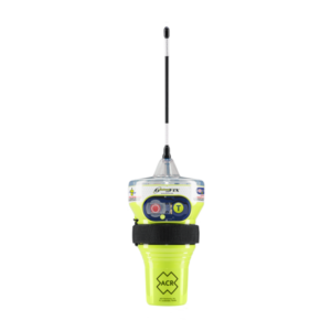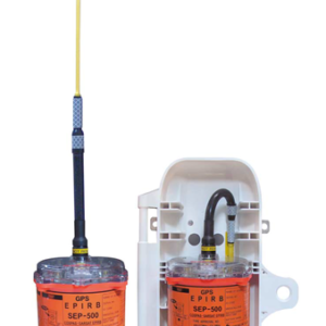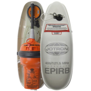
Emergency Position Indicating Radio Beacon or EPIRB is used to alert search and rescue services in the event of an emergency. It does this by transmitting a coded message via the free to use, multinational Cospas Sarsat network. A 406 MHz distress frequency signal is sent via satellite and earth stations to the nearest rescue co-ordination centre.EPIRBs also transmit a homing signal via 121.5 MHz to help rescue services to pinpoint the beacons location. Some EPIRBs also have built-in GNSS receivers which enables the rescue services to accurately locate your coordinates to +/- 50 metres. These receivers can be single source, typically using the US GPS, or multi-constellational, working with a number of GNSS satellite systems such as the EU’s Galileo or Russia’s Glonass offering greater global coverage, faster detection and more accurate location detection. Orolia Maritime offers an EPIRB variant that also includes an AIS VHF frequency, which allows vessels in the local area (4NM) to pick up the distress alert as an ‘Man overboard’ alarm on their vessels AIS screen
Showing all 4 results